
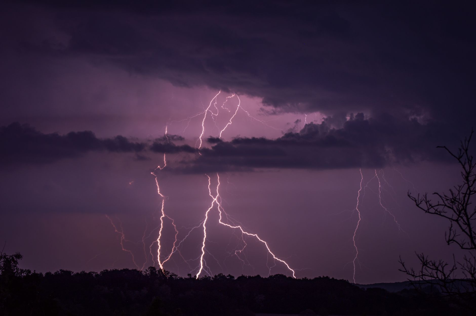
Thunderstorms and flash floods to end UK heatwave on Tuesday
The UK heatwave is entering its final hours — and it won’t be a quiet exit. Tuesday is expected to be the last scorching day of the current hot spell, with more locations across southern and eastern England set to officially cross the heatwave threshold, even as the Met Office issues warnings of thunderstorms and dangerous flash flooding risk for later in the day.
More places hit heatwave criteria as temperatures peak
Temperatures are forecast to climb into the low-to-mid 30s Celsius across parts of East Anglia, the South East and the East Midlands on Tuesday afternoon. That means several towns and cities that narrowly missed the official heatwave designation in previous days could finally reach it — though for many people, the distinction will feel academic by now.
A location in England is classified as experiencing a heatwave once it records three consecutive days of temperatures at or above its regional threshold, which ranges from 25°C to 28°C depending on the area. Parts of Kent, Essex and Suffolk are among those expected to make the cut on Tuesday.
Storm warnings issued as cooler air moves in
But the heat won’t simply fade away quietly. The Met Office has put yellow weather warnings in place for much of central and southern England, covering the risk of thunderstorms developing through Tuesday afternoon and evening. Some areas could see 20 to 30mm of rain falling in under an hour, with the potential for localised flash flooding, travel disruption and power cuts.
It’s a classic end to a heatwave. Warm, unstable air meeting an incoming cooler front creates exactly the conditions that breed intense, fast-moving storms. And because the ground has baked hard during the hot spell, heavy rain can’t soak in fast enough — which is why flooding risk goes up sharply.
A spokesperson for the Environment Agency urged the public to avoid walking or driving through floodwater, warning that just 30 centimetres of fast-moving water is enough to knock an adult off their feet.
Relief on the way for most
Wednesday marks the turning point.
Temperatures are expected to drop back into the low-to-mid 20s across most of England and Wales from midweek, with Scotland and Northern Ireland already seeing fresher, more unsettled conditions by Tuesday. It won’t feel cold — but after days of oppressive heat, most people will likely welcome the change.
What comes next
The longer-range forecast suggests a more mixed picture through the rest of the week, with spells of rain and sunshine rather than any sustained hot weather. So for those who’ve been struggling through sleepless nights and overcrowded parks, some genuine relief is close.
Still, forecasters aren’t ruling out further warm spells later in summer. But for now, Britain’s heatwave is almost done — and Tuesday’s storms may well be its loudest farewell.